


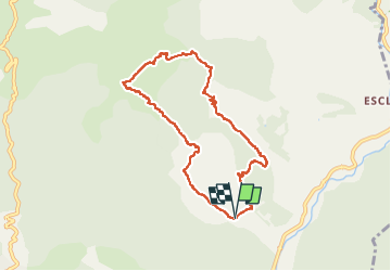


12.6 km | 21 km-effort


User


FREE GPS app for hiking
 SityTrail
IGN / Geographical institutes
SityTrail World
The world is yours!
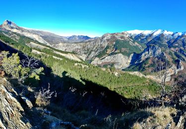
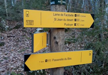
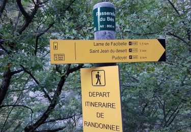
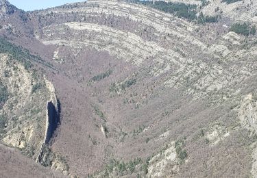
Trail Walking of 8.4 km to be discovered at Provence-Alpes-Côte d'Azur, Alpes-de-Haute-Provence, La Robine-sur-Galabre. This trail is proposed by RobinMicheline.
Magnifique


24 photos in total. Please click on a photo to see them all in the gallery.

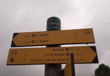
Walking
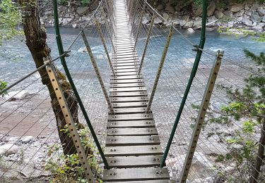
Walking
Walking
Walking
Walking
Walking
Walking
Walking
Walking
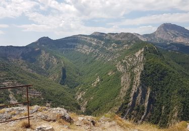
superbe rando sauvage et exigeante a éviter les jours de pluie !